One of the most evocative and popular trails in the Etna Park area that will lead to a visit to the bottoniera of the Sartorius Mountains born from a powerful eruption in 1865
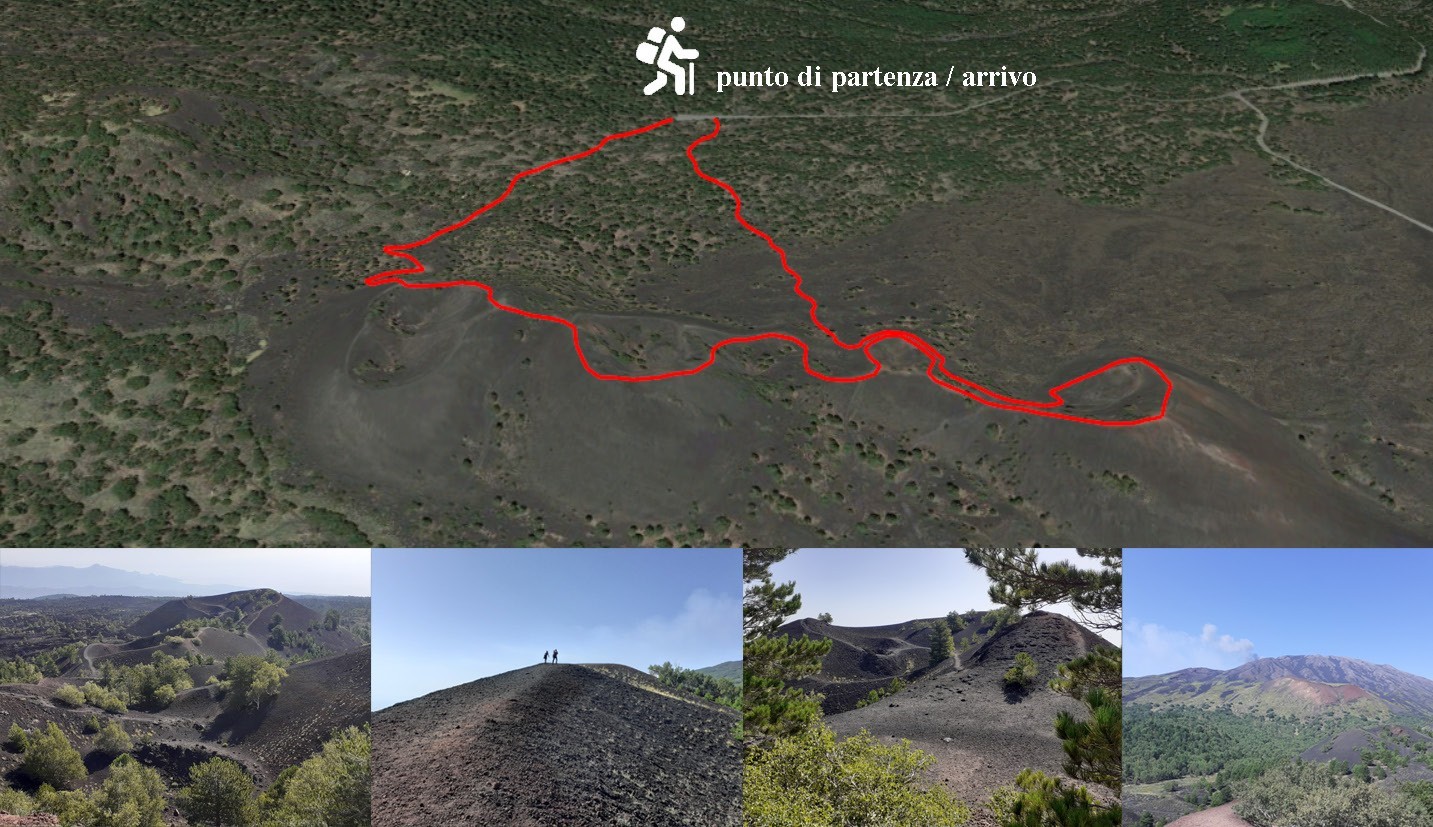
This path, one of the most evocative and popular in the territory of the Park, is located on the north-eastern side of Etna, a few hundred meters from the historic Rifugio Citelli. The route, which is of exceptional interest both from a geological and botanical point of view, runs in a ring starting from the forest barrier at an altitude of 1,660 m. above sea level for about four kilometers.
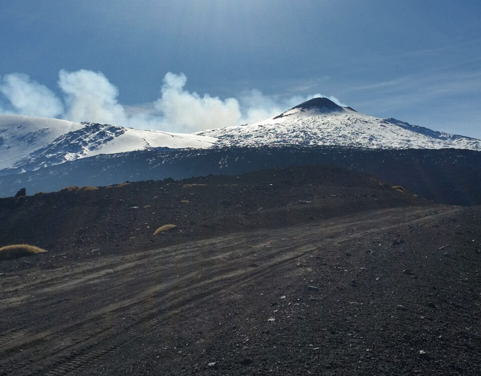
Along the path, which has 6 observation points, there are clearings rich in endemic species. You can admire the Monte Frumento, which represents one of the largest adventitious cones of Etna. The great geological interest is instead represented by the imposing lava flow of 1865, which gave rise to the Sartorius Mountains (in honor and in memory of the scholar Sartorius von Walterhausen, who was the first to map the most important eruptions of Etna), characterized from the typical “buttonhole” alignment of the eruptive cones.
The majestic flow extends for about eight square kilometers, with an average thickness of the lavas of over 12 m; the surface morphology is very bumpy due to the presence of lava and scoriaceous blocks.

Info about the route:
length: about 4 km - difficulty: easy - travel time: about 3 h uphill and downhill altitude difference: 100 meters - clothing: trekking shoes and waterproof windbreaker.
Contact us for more info and costs
info@siciliaincoming.com, download the booking form
Tel. +39 095 7901081; cell. +39 393 1854236 - +39 347 7865456


